


Tawny Owl – Species of the month – March
In March, we take a closer look at the mysterious tawny owls, their habits and where you can find them.
In March, we take a closer look at the mysterious tawny owls, their habits and where you can find them.
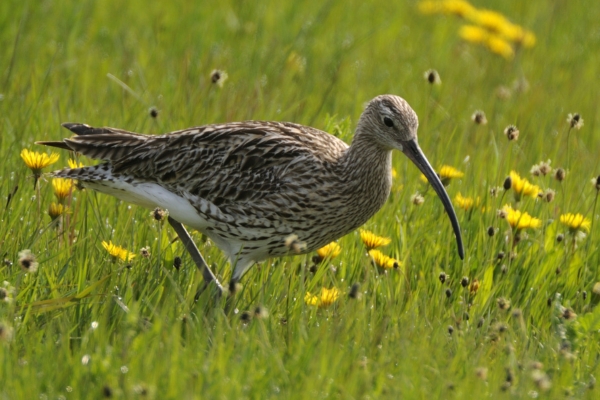
BASC joined the Deputy First Minister, Huw Irranca-Davies, on a national park visit to to see how targeted conservation measures are helping curlew in Wales.

This year’s BASC Wildlife Fund stamp, titled Pintail over Wentloog, celebrates an important coastal habitat restoration project in South Wales.